Where Are We?
Primary tabs
Submitted by apala-admin on Thu, 12/11/2014 - 14:08
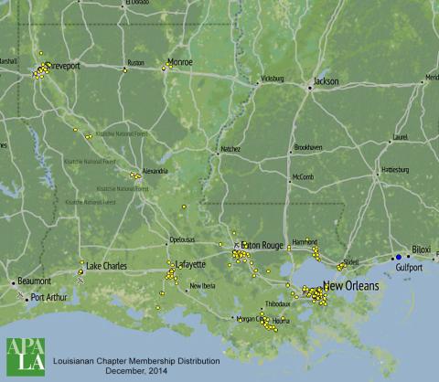
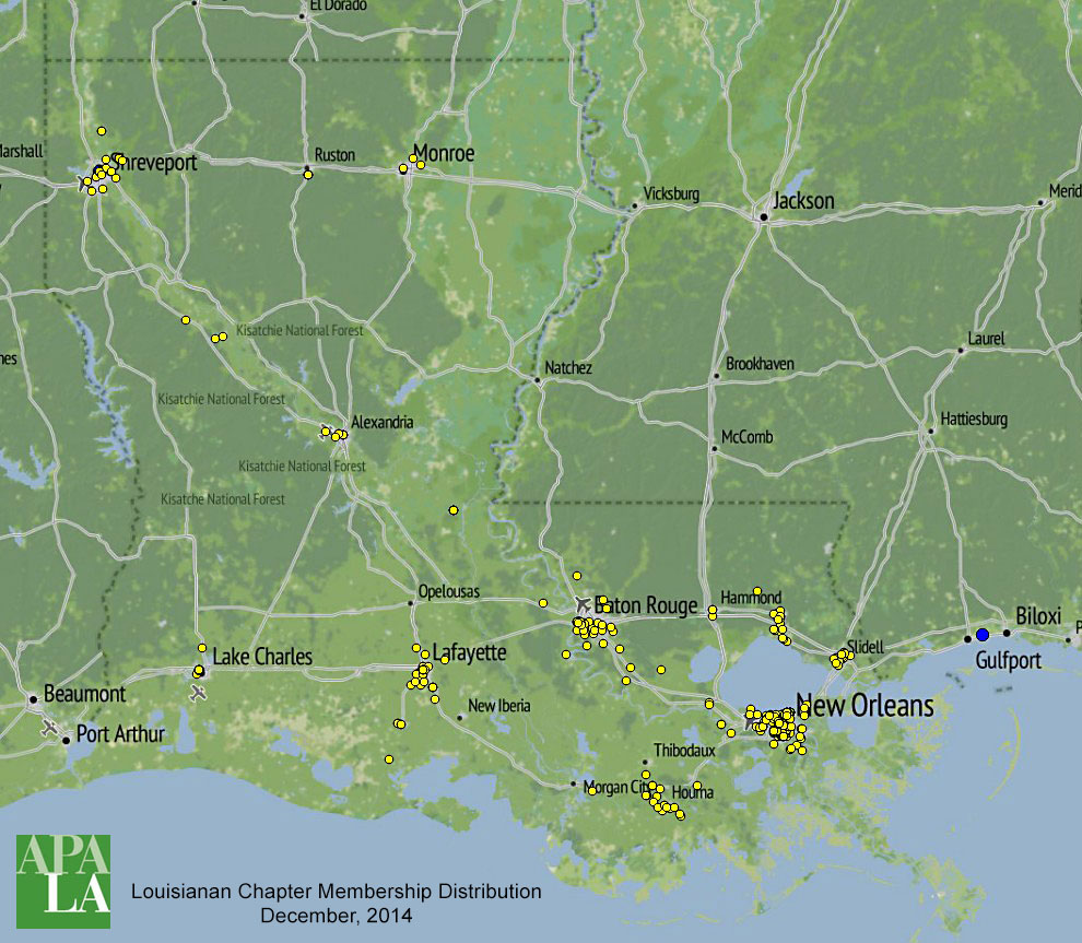
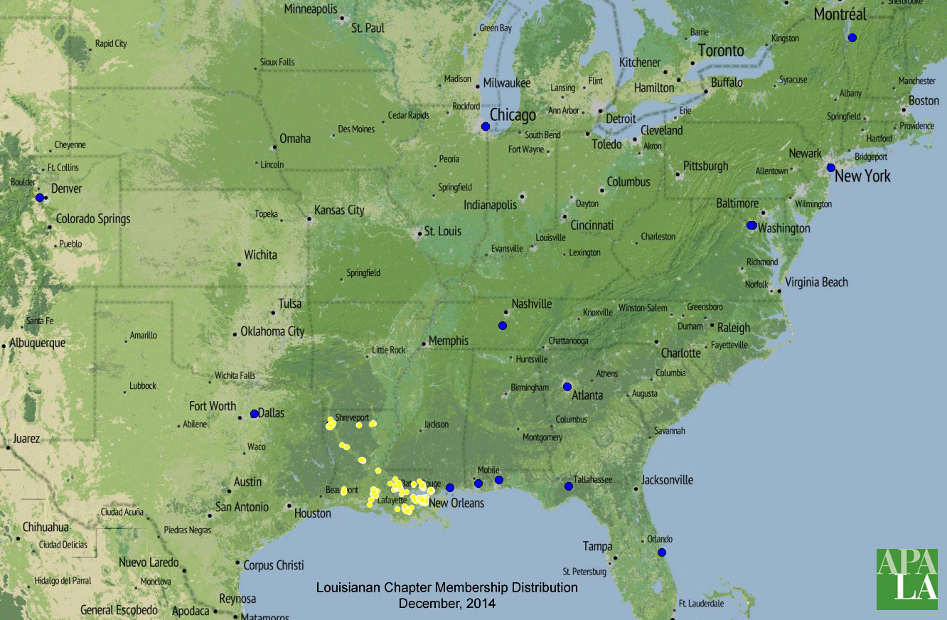
I've just received the monthly Chapter membership list from the American Planning Association (December 2014) and I thought it would be interesting to geocode the list. This static map zoomed in to Louisiana shows the result - without revealing any personal data. A complete membership map expands to most of the United States as shown below. Yellow dots are in-state members, while blue dots are those out of state. A few of these folks are APA staff in Chicago or D.C. and are not really Louisiana Chapter members. Other blue dots shown out-of-state may simply be maintaining their Louisiana Chapter membership, or may be in the process of relocating. All of this was accomplished with Microsoft Excel and open-source QGIS software.


